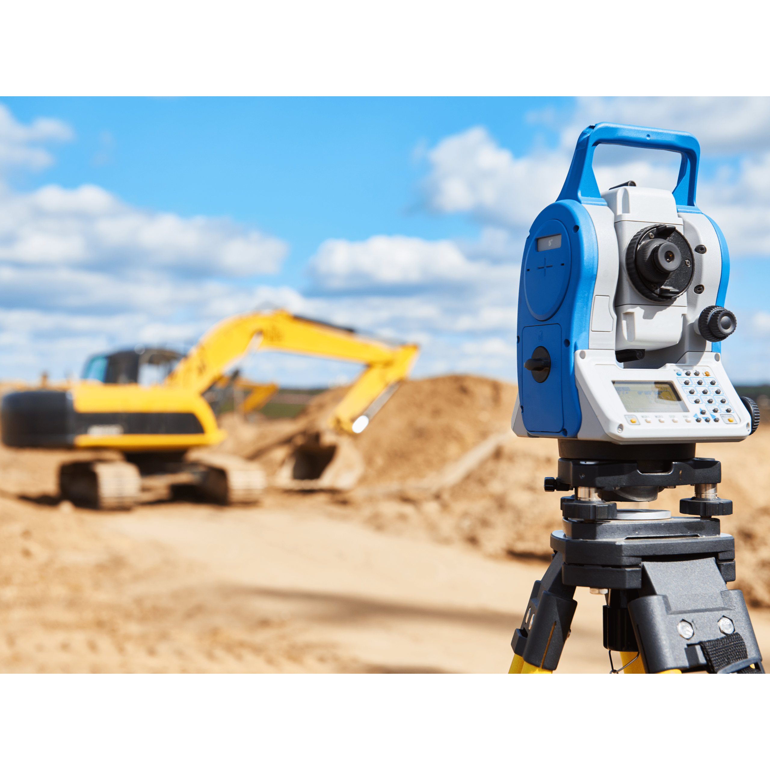
Our Services

1. Land & Engineering Surveying

Services Included:
Cadastral, Strata, Stratum, Topographic, Engineering, Precise Leveling, Monitoring, Geodetic

Description:
Comprehensive land and engineering survey services to support land development, infrastructure, and construction projects. These surveys ensure accurate land boundaries, elevation data, and precise site measurements for planning and design.

2. Mapping & Geospatial Solutions

Services Included:
Digital Mapping, Spatial Info Services, AM/FM GIS, GPS/GIS Data Capture, GeoSciences

Description:
Integrated mapping and GIS-based solutions for data collection, spatial analysis, and geoinformation management. Designed to support smart decision-making through accurate geospatial data visualization and analysis.

3. Remote Sensing & 3D Visualization

Services Included:
Aerial Topography, LiDAR, Laser Scanning, Softcopy Photogrammetry, 3D Geospatial & Virtualization, Image Analysis

Description:
High-resolution data capture using aerial and LiDAR technology, producing detailed 3D models, topographic maps, and imagery for urban planning, infrastructure, and environmental studies.

4. Underground & Utility Detection

Services Included:
Underground Detection, GeoRadar Detection

Description:
Non-destructive subsurface investigations using geophysical and radar technology to identify underground utilities, pipelines, and structures, minimizing excavation risks and improving project safety.

5. Hydrographic & Environmental Survey

Services Included:
Hydrography, EIA Consultancy

Description:
Specialized hydrographic surveys for marine and inland water mapping, combined with environmental impact assessments (EIA) to support sustainable development and resource management.

Land Management & Consultancy

Services Included:
Land Consolidation

Description:
Professional consultancy in land consolidation and planning to optimize land use, streamline ownership, and enhance development potential in compliance with regulatory requirements.