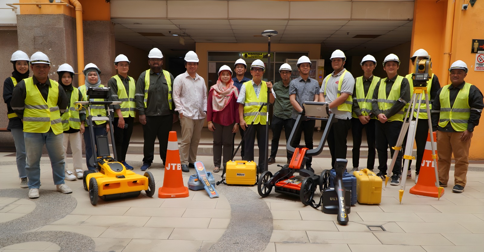
We are highly qualified expertise who have excellent technical skills and extensive experience in the field. We have the state-of-the-art equipments and continuously invest on utilizing the appropriate software systems. We have successfully carried out numerous assignments, ranging from cadastral, topographic mapping, aerial photography, GPS, GIS, SDI, videogrammetry, lidar, laser scanning, hydrography, ground detection at local and international.
Who We Are
Explore Our Expertise
Professional Survey Services for Every Need
Our vision is to be the center of excellence in developing home grown spatial information system which provides availability to as certain current and accurate geospatial information as a contribution to national growth.

Founder
JURUUKUR MUTIARA has been Malaysia’s leading surveying and mapping company since 1996.
The founder is Datuk LSr. Dr. Mohaizi Mohamad; PGDK, FRISM a licensed Land Surveyor, Mapper, GIS Specialist and ICT consultant. His knowledge and experience exceeded 20 over years with Government of Malaysia. He has been a surveyor, mapper, and GIS consultant to the state Government, Local Authority, Petronas, TNB, JPS,MOA,PWD, etc. The headquarters is in Kuala Lumpur with a branch in Melaka.
The company provides total solutions in the survey, mapping and GIS projects. The professionals in the organization range from Land Surveyor, Hydrographer, Aerial Photographer, Photogrammetrist and Cartographer. He is also a Royal Fellow with the Institution of Surveyor Malaysia in recognition for the contribution made to the land surveying discipline. He is also The President for Malaysia GIS Association.